Maps
Places & namesAll archive results

Little Tey 1999, A Village Diary for the Millennium, p4
undefined
1799 map of Marks Tey Parish
1799
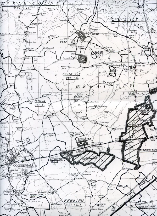
Map of Little Tey parish boundaries

rail map Marks Tey towards Aldham

rail map Marks Tey station

rail maps to Halstead

OS map showing Marks Tey Hall, 1862
1862

OS map showing Marks Tey Hall, 1923
1923

Alternative proposal for development

Planning appeal refusal for bungalow in Mill Road, 1964
1964

OS map of the brickworks and North Lane, 1963
1963

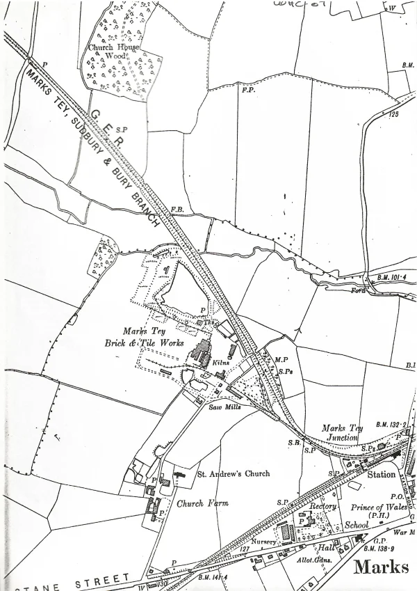
OS map of St Andrew's church and the brickworks, possibly 1897
possibly 1897

OS map of Church Farm, 1897
1897

Layout of Church Lane and Church Green in 1838
1838

Tracing of 1820 road improvement scheme
1820

Map of Lexden Hundred
1689-1722

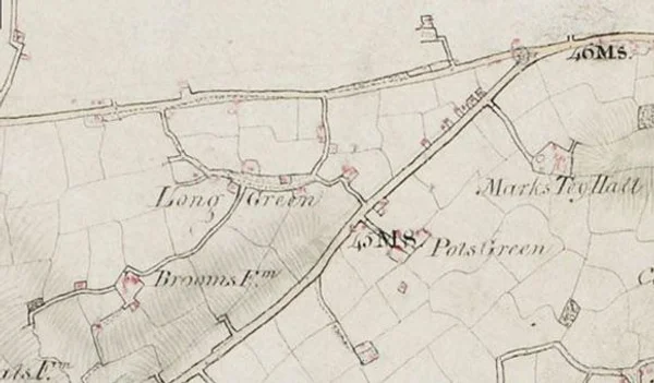
Map of Long Green showing Listed Buildings
1896
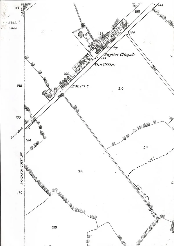
The Villa shown on a 1860 OS map
1860
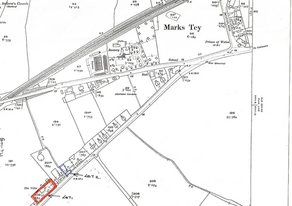
The Villa shown on a 1923 OS map
1923
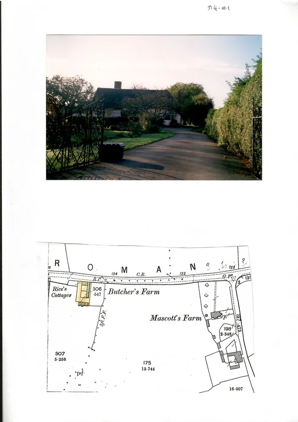
Butchers Farm, photo and old map
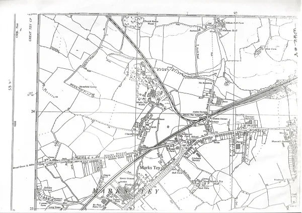
1955 OS Map - Marks Tey
1955
1923 OS Maps - Marks Tey Brick and Tile Works
1923

1923 Enlarged OS Map - Church and Marks Tey Brickworks
1923
1876 OS Map of Church Farm and Brickworks
1876
Page 1 of 2Next page →